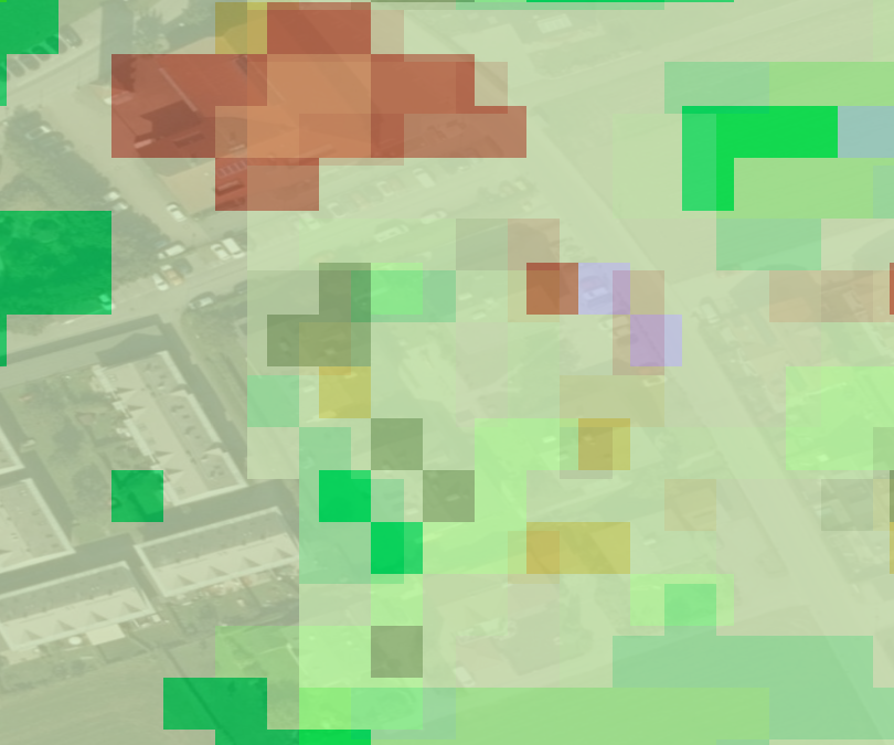
Downloaded results: Coordinate system WGS84, pixel-shift between images #2
Description
From an user (Austrian) perspective
-
image-to-image registration is preferred for further processing in ArcGIS
-
national or European projected coordinate system is preferred to match with national / regional data and to optimize data visualisation due to on-the-fly projection. If data is reprojected, categorical data (e.g. SIAM categories) requires nearest neighbor interpolation.